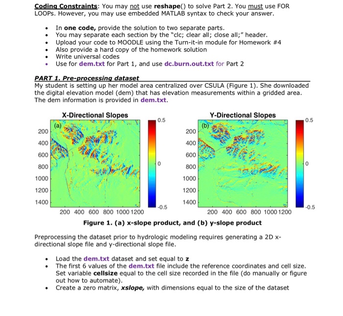
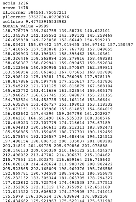
Coding Constraints: You may not use reshape) to solve Part 2. You must use FOR LOOPs. However, you may use embedded MATLAB syntax to check your answer In one code, provide the solution to two separate parts . You may separate each section by the "clc; clear all; close al" header Upload your code to MOODLE using the Turn-it-in module for Homework #4 Also provide a hard copy of the homework solution Write universal codes Use for dem.txt for Part 1, and use dc.burn.out.txt for Part 2 PART My student is setting up her model area centralized over CSULA (Figure 1). She downloaded the digital elevation model (dem) that has elevation measurements within a gridded area The dem information is provided in dem.txt rocessing datase X-Directional Slopes Y-Directional Slopes 0.5 0.5 200 200 400 600 800 1000 1200 1000 1200 1400 200 400 600 800 1000 1200 200 400 600 800 1000 1200 Figure 1. (a) x-slope product, and (b) y-slope product Preprocessing the dataset prior to hydrologic modeling requires generating a 2Dx directional slope file and y-directional slope file .Load the dem.txt dataset and set equal to z The first 6 values of the dem.txt file include the reference coordinates and cell size Set variable cellsize equal to the cell size recorded in the file (do manually or figure out how to automate) Create a zero matrix, xslope, with dimensions equal to the size of the dataset Coding Constraints: You may not use reshape) to solve Part 2. You must use FOR LOOPs. However, you may use embedded MATLAB syntax to check your answer In one code, provide the solution to two separate parts . You may separate each section by the "clc; clear all; close al" header Upload your code to MOODLE using the Turn-it-in module for Homework #4 Also provide a hard copy of the homework solution Write universal codes Use for dem.txt for Part 1, and use dc.burn.out.txt for Part 2 PART My student is setting up her model area centralized over CSULA (Figure 1). She downloaded the digital elevation model (dem) that has elevation measurements within a gridded area The dem information is provided in dem.txt rocessing datase X-Directional Slopes Y-Directional Slopes 0.5 0.5 200 200 400 600 800 1000 1200 1000 1200 1400 200 400 600 800 1000 1200 200 400 600 800 1000 1200 Figure 1. (a) x-slope product, and (b) y-slope product Preprocessing the dataset prior to hydrologic modeling requires generating a 2Dx directional slope file and y-directional slope file .Load the dem.txt dataset and set equal to z The first 6 values of the dem.txt file include the reference coordinates and cell size Set variable cellsize equal to the cell size recorded in the file (do manually or figure out how to automate) Create a zero matrix, xslope, with dimensions equal to the size of the dataset