Answered step by step
Verified Expert Solution
Question
1 Approved Answer
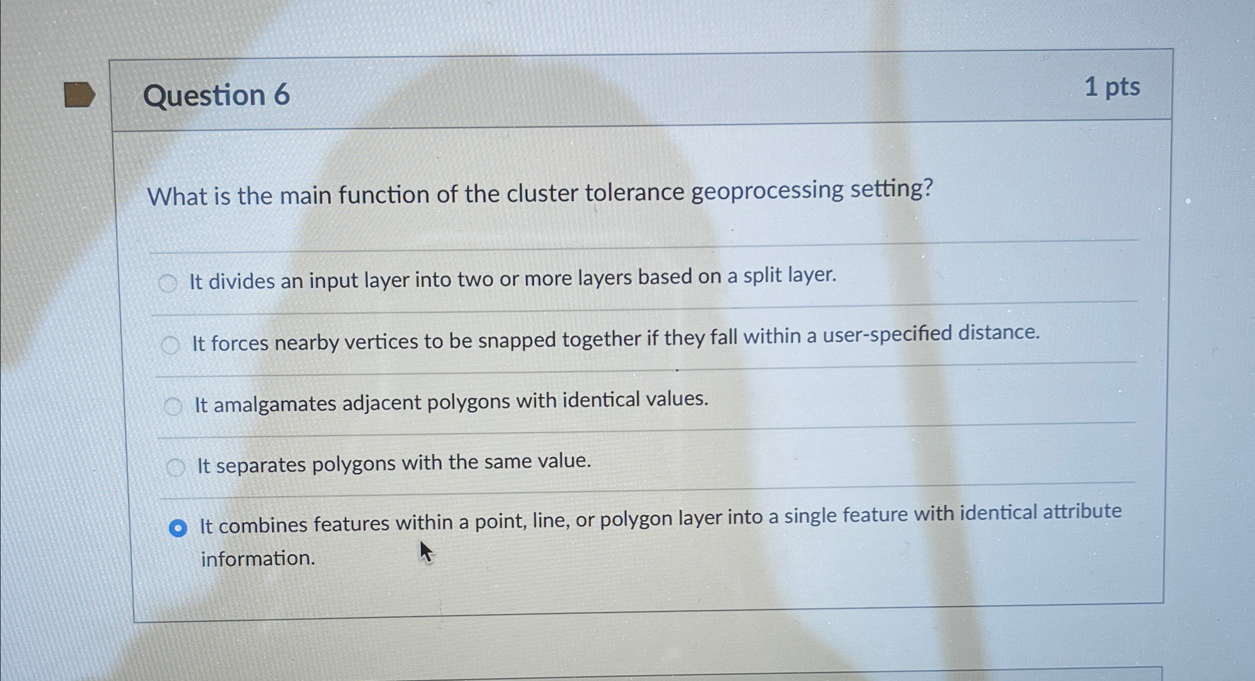
Question 6 1 pts What is the main function of the cluster tolerance geoprocessing setting? It divides an input layer into two or more layers
Question
pts
What is the main function of the cluster tolerance geoprocessing setting?
It divides an input layer into two or more layers based on a split layer.
It forces nearby vertices to be snapped together if they fall within a userspecified distance.
It amalgamates adjacent polygons with identical values.
It separates polygons with the same value.
It combines features within a point, line, or polygon layer into a single feature with identical attribute information.

Step by Step Solution
There are 3 Steps involved in it
Step: 1

Get Instant Access to Expert-Tailored Solutions
See step-by-step solutions with expert insights and AI powered tools for academic success
Step: 2

Step: 3

Ace Your Homework with AI
Get the answers you need in no time with our AI-driven, step-by-step assistance
Get Started


