Answered step by step
Verified Expert Solution
Question
1 Approved Answer
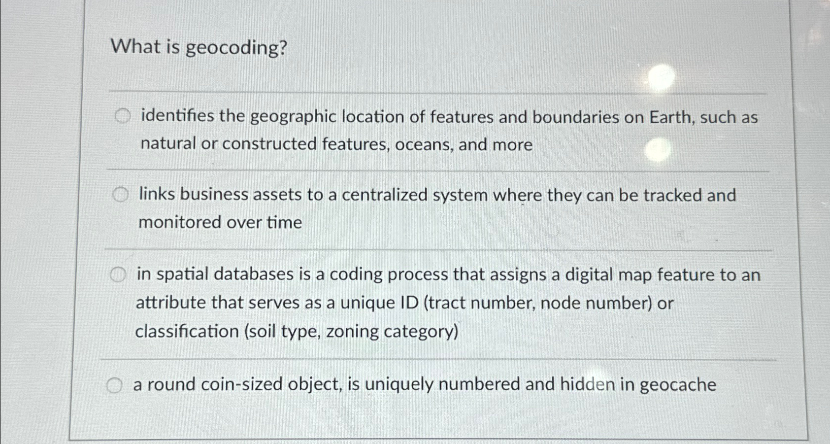
What is geocoding? identifies the geographic location of features and boundaries on Earth, such as natural or constructed features, oceans, and more links business assets
What is geocoding?
identifies the geographic location of features and boundaries on Earth, such as natural or constructed features, oceans, and more
links business assets to a centralized system where they can be tracked and monitored over time
in spatial databases is a coding process that assigns a digital map feature to an attribute that serves as a unique ID tract number, node number or classification soil type, zoning category
a round coinsized object, is uniquely numbered and hidden in geocache

Step by Step Solution
There are 3 Steps involved in it
Step: 1

Get Instant Access to Expert-Tailored Solutions
See step-by-step solutions with expert insights and AI powered tools for academic success
Step: 2

Step: 3

Ace Your Homework with AI
Get the answers you need in no time with our AI-driven, step-by-step assistance
Get Started


