Answered step by step
Verified Expert Solution
Question
1 Approved Answer
You are building a symbol map that will display the location and the relative size of each public school in a country. Your data

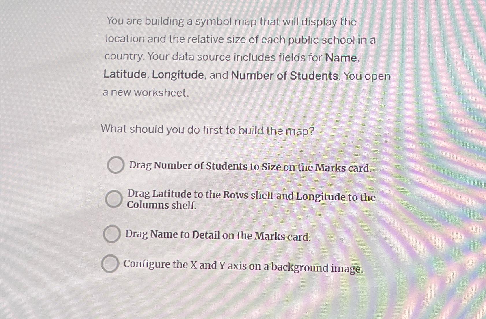
You are building a symbol map that will display the location and the relative size of each public school in a country. Your data source includes fields for Name. Latitude, Longitude, and Number of Students. You open a new worksheet. What should you do first to build the map? Drag Number of Students to Size on the Marks card. Drag Latitude to the Rows shelf and Longitude to the Columns shelf. Drag Name to Detail on the Marks card. Configure the X and Y axis on a background image.
Step by Step Solution
There are 3 Steps involved in it
Step: 1

Get Instant Access to Expert-Tailored Solutions
See step-by-step solutions with expert insights and AI powered tools for academic success
Step: 2

Step: 3

Ace Your Homework with AI
Get the answers you need in no time with our AI-driven, step-by-step assistance
Get Started


