Answer the questions attached
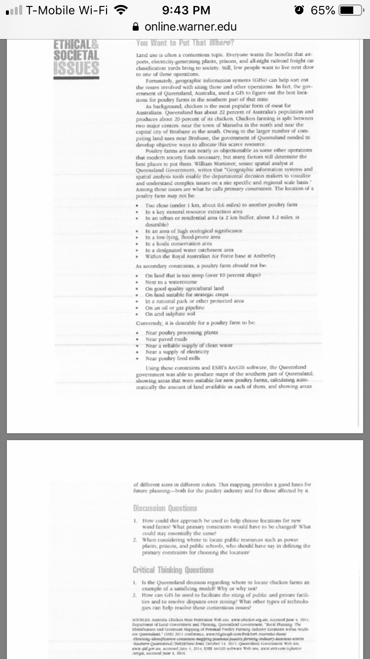
all T-Mobile Wi-Fi 9:43 PM 65% online.warner.edu ETHICAL& You Want to Put That Where? SOCIETAL Land use is often a contentious topic. Everyone wants the benefits that air- ISSUES ports, electricity-generating plants, prisons, and all-night railroad freight car classification yards bring to society. Still, few people want to live next door to one of these operations. Fortunately, geographic information systems (GISs) can help sort out the issues involved with siting these and other operations. In fact, the gov- ernment of Queensland, Australia, used a GIS to figure out the best loca- tions for poultry farms in the southern part of that state As background, chicken is the most popular form of meat for Australians Queensland has about 22 percent of Australia's population and produces about 20 percent of its chicken. Chicken farming is split between two major centers near the town of Mareeba in the north and near the capital city of Brisbane in the south. Owing to the larger number of com- peting land uses near Brisbane, the government of Queensland needed to develop objective ways to allocate this scarce resource. Poultry farms are not nearly as objectionable as some other operations that modern society finds necessary, but many factors still determine the best places to put them. William Mortimer, senior spatial analyst at Queensland Government, writes that "Geographic information systems and spatial analysis tools enable the departmental decision makers to visualize and understand complex issues on a site specific and regional scale basis." Among these issues are what he calls primary constraints. The location of a poultry farm may not be: Too close (under ] km, about 0.6 miles) to another poultry farm In a key mineral resource extraction area In an urban or residential area (a 2 km buffer, about 1.2 miles, is desirable) In an area of high ecological significance . In a low-lying, flood-prone area In a koala conservation area In a designated water catchment area Within the Royal Australian Air Force base at Amberley As secondary constraints, a poultry farm should not be: On land that is too steep (over 10 percent slope) Next to a watercourse . On good quality agricultural land On land suitable for strategic crops In a national park or other protected area On an oil or gas pipeline On acid sulphate soil Conversely, it is desirable for a poultry farm to be: Near poultry processing plants Near paved roads Near a reliable supply of clean water Near a supply of electricity Near poultry feed mills Using these constraints and ESRI's AreGIS software, the Queensland government was able to produce maps of the southern part of Queensland, showing areas that were suitable for new poultry farms, calculating auto- matically the amount of land available in each of them, and showing areas of different sizes in different colors. This mapping provides a good basis for future planning-both for the poultry industry and for those affected by it. Discussion Questions 1. How could this approach be used to help choose locations for new wind farms? What primary constraints would have to be changed' What could stay essentially the same? 2. When considering where to locate public resources such as power plants, prisons, and public schools, who should have say in defining the primary constraints for choosing the location Critical Thinking Questions 1. Is the Queensland decision regarding where to locate chicken farms an example of a satisficing model? Why or why not 2. How can GIS be used to facilitate the siting of public and private facili- ties and to resolve disputes over zoning? What other types of technolo gies can help resolve these conte SOURCES: Aust Deputnest of Local Govern chow org aw, accessed June 4, 2014. Identification and Constraint Mapping of and Government, "Rural Planmay The er Queenalund." Cant 3013 conference Incountry Locations within 2011: Queensland Government Weh we, re Web site, ruralcon biuve regis, accessed June 4. 2014


