Answered step by step
Verified Expert Solution
Question
1 Approved Answer
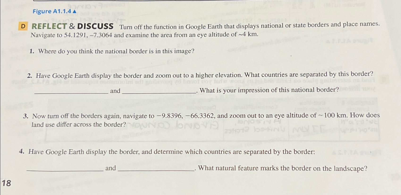
Figure A 1 . 1 . 4 D REFLECT & DISCUSS Turn off the function in Google Earth that displays national or state borders and
Figure A
D REFLECT & DISCUSS Turn off the function in Google Earth that displays national or state borders and place names. Navigate to and examine the area from an eye altitude of
Where do you think the national border is in this image?
Have Google Earth display the border and zoom out to a higher elevation. What countries are separated by this border? and What is your impression of this national border?
Now turn off the borders again, navigate to and zoom out to an eye altitude of How does land use differ across the border?
Have Google Earth display the border, and determine which countries are separated by the border: and What natural feature marks the border on the landscape?

Step by Step Solution
There are 3 Steps involved in it
Step: 1

Get Instant Access to Expert-Tailored Solutions
See step-by-step solutions with expert insights and AI powered tools for academic success
Step: 2

Step: 3

Ace Your Homework with AI
Get the answers you need in no time with our AI-driven, step-by-step assistance
Get Started


