Question: Geographic Coordinate System ( GCS ) are angular measurements from the center of the earth to a point on a spheroid. The precision of a
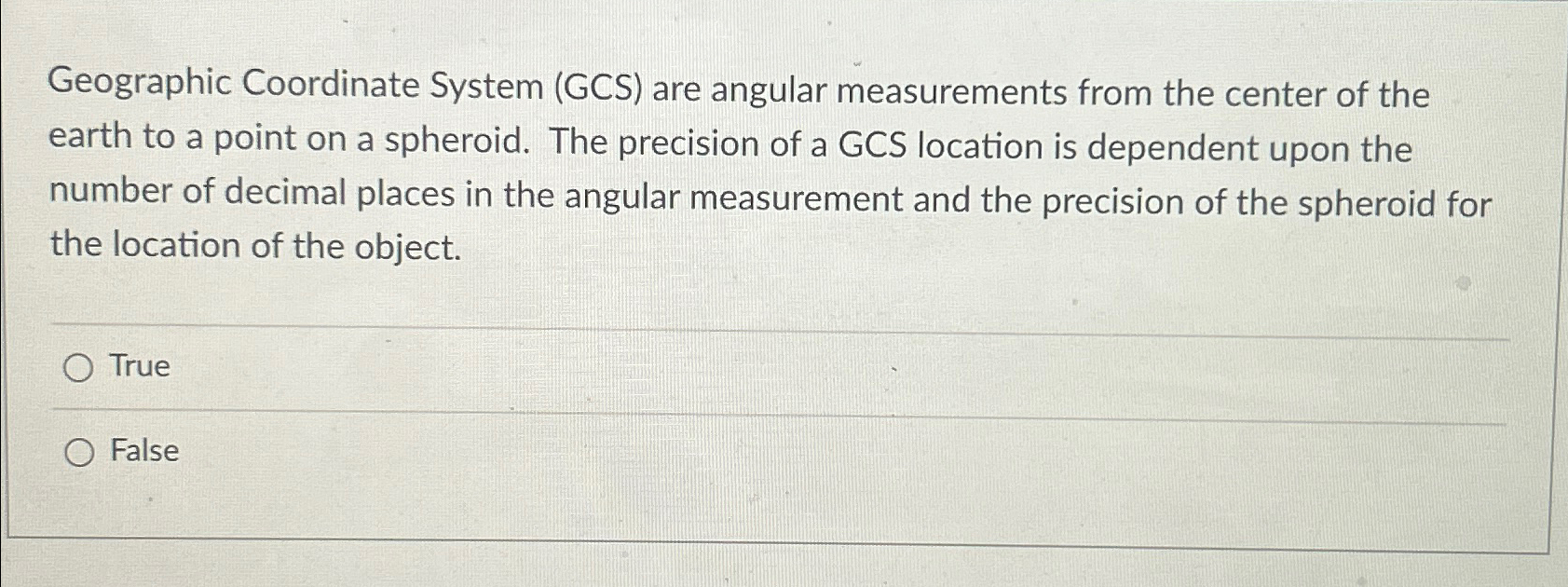
Geographic Coordinate System GCS are angular measurements from the center of the earth to a point on a spheroid. The precision of a GCS location is dependent upon the number of decimal places in the angular measurement and the precision of the spheroid for the location of the object.
True
False

Step by Step Solution
There are 3 Steps involved in it
1 Expert Approved Answer
Step: 1 Unlock


Question Has Been Solved by an Expert!
Get step-by-step solutions from verified subject matter experts
Step: 2 Unlock
Step: 3 Unlock


