How Far Will You Travel? Portfolio PRECALCULUS: VECTORS Directions: Suppose that you plan to take a trip to your dream destination. You would like to
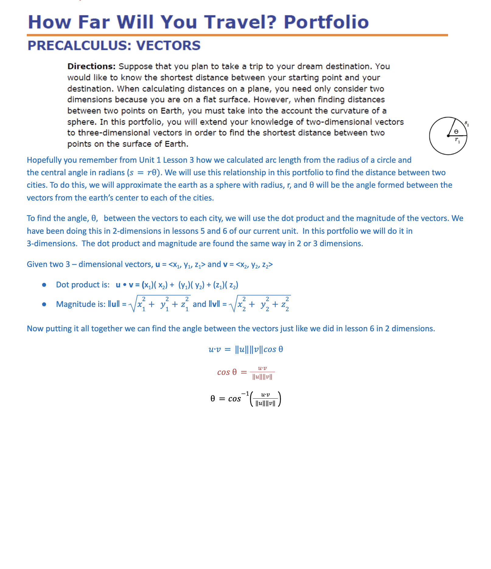
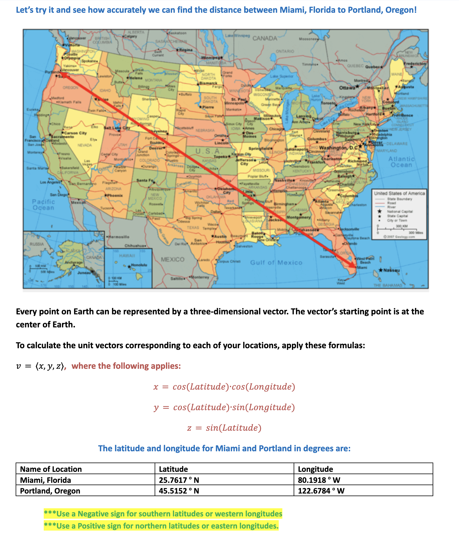
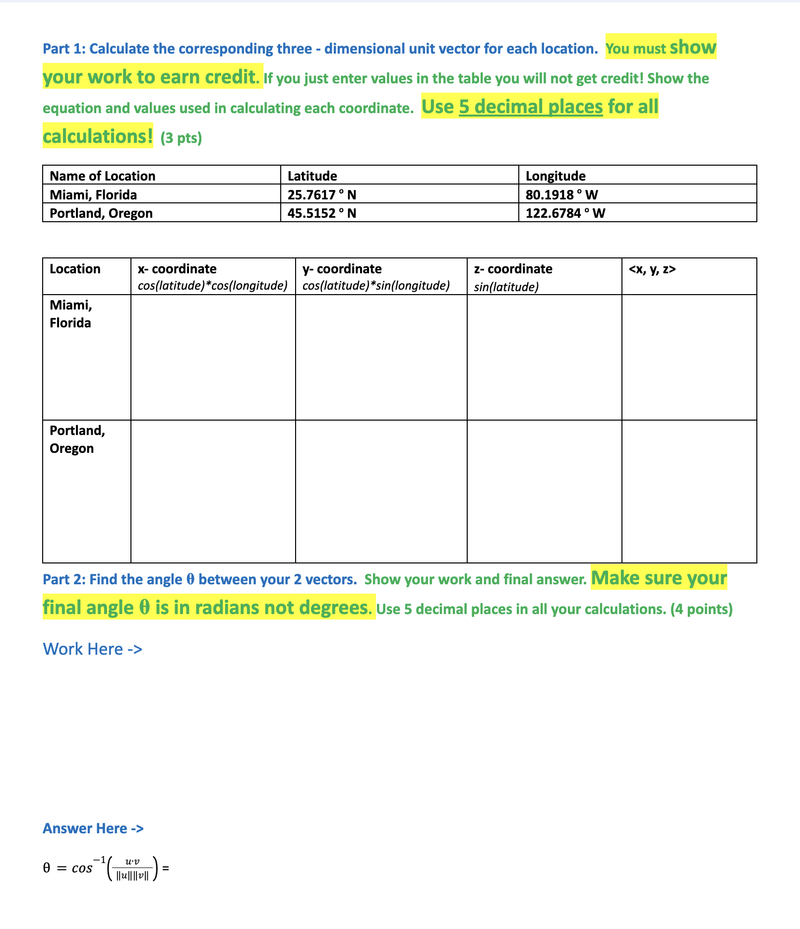
How Far Will You Travel? Portfolio PRECALCULUS: VECTORS Directions: Suppose that you plan to take a trip to your dream destination. You would like to know the shortest distance between your starting point and your destination. When calculating distances on a plane, you need only consider two dimensions because you are on a flat surface. However, when finding distances between two points on Earth, you must take into the account the curvature of a sphere. In this portfolio, you will extend your knowledge of two-dimensional vectors to three-dimensional vectors in order to find the shortest distance between two points on the surface of Earth. Hopefully you remember from Unit 1 Lesson 3 how we calculated arc length from the radius of a circle and the central angle in radians (s = 10). We will use this relationship in this portfolio to find the distance between two cities. To do this, we will approximate the earth as a sphere with radius, r, and 0 will be the angle formed between the vectors from the earth's center to each of the cities. To find the angle, 0, between the vectors to each city, we will use the dot product and the magnitude of the vectors. We have been doing this in 2-dimensions in lessons 5 and 6 of our current unit. In this portfolio we will do it in 3-dimensions. The dot product and magnitude are found the same way in 2 or 3 dimensions. Given two 3 - dimensional vectors, u = and v = . Dot product is: u . v = (x1)(X2) + (y1)( 2) + (21)( zz) . Magnitude is: llull = \\x, + y, + z, and lull = 1x3+ x3+ z? Now putting it all together we can find the angle between the vectors just like we did in lesson 6 in 2 dimensions. uv = lull|v||cos e = 0 503 an 0 = cos uvPart 3: Find the distance between the two locations to the nearest mile. Show your work and final answer with units. (2 points). Remember your angle needs to be in radians when you compute arc length. Although Earth is not a perfect sphere, assume that it is for the purposes of this portfolio and use the formula for the arc length of a segment of a great circle on a sphere, s = 19, to find the distance between your two locations. In this case, r is the radius of Earth, which is approximately 3,963.2 miles. Find the distance between your two locations. Part 4: Write a paragraph (at least 3 sentences) that discusses what you learned about vectors from this portfolio. (1 point) Part 5: Look up the actual distance between the two cities (include your source). Calculate the percentage of error in your calculation and comment on how accurate it is and possible sources of error. Consider why your online source might be less or more accurate than your calculation (2 points). Let's try it and see how accurately we can find the distance between Miami, Florida to Portland, Oregon! Saskatoon Lamwinnipeg CANADA * Regina NTARIO NORTH MAINE MONTANA OREGON Ottawa imland -Medtowson Falls NEW * Pierre ochs Albany OU Cty AN" NEBRASKA NEW JERSEY Carson City loines NEVADA -DELAWARE U . S. A. ARYLAND *Visalus City Atlantic Santa Bakersheld Ocean MISSOURI Poplar But. Santa Fe Nashvillex ARIZONA United States of America Pacific State Boundary Ocean National C State Capital City or Town 300 Me HAWAII MEXICO 2 500 KM Gulf of Mexico 2 190 KM 100 Mies Every point on Earth can be represented by a three-dimensional vector. The vector's starting point is at the center of Earth. To calculate the unit vectors corresponding to each of your locations, apply these formulas: v = (x, y, z), where the following applies: x = cos(Latitude).cos(Longitude) y = cos(Latitude).sin(Longitude) z = sin(Latitude) The latitude and longitude for Miami and Portland in degrees are: Name of Location Latitude Longitude Miami, Florida 25.7617 . N 80.1918 . W Portland, Oregon 45.5152 . N 122.6784 . W * * *Use a Negative sign for southern latitudes or western longitudes * * *Use a Positive sign for northern latitudes or eastern longitudes.Part 1: Calculate the corresponding three - dimensional unit vector for each location. You must Show your work to earn credit. if you just enter values in the table you will not get credit! Show the equation and values used in calculating each coordinate. Use 5 decimal places for all calculations! (3 pts) Name of Location latitudle | Longitude Miami, Florida 25.7617N 80.1918 W Portland, Oregon [as.5152N [1226784W x- coordinate y- coordinate z- coordinate cos(latitude)*cos(longitude) | cos(latitude)*sin(longitude) sin(latitude) Portland, Oregon Part 2: Find the angle 0 between your 2 vectors. Show your work and final answer. Make sure your final angle 0 is in radians not degrees. use 5 decimal places in all your calculations. (4 points) Work Here -> Answer Here -> 0= Cos_l() = llullliwl
Step by Step Solution
There are 3 Steps involved in it
Step: 1
Get Instant Access to Expert-Tailored Solutions
See step-by-step solutions with expert insights and AI powered tools for academic success
Step: 2
Step: 3
Ace Your Homework with AI
Get the answers you need in no time with our AI-driven, step-by-step assistance