Go back


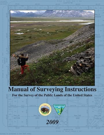
Manual Of Surveying Instructions For The Survey Of The Public Lands Of The United States 2009(1st Edition)
Authors:
United States Department Of The Interior, Bureau Of Land Management

Cover Type:Hardcover
Condition:Used
In Stock
Shipment time
Expected shipping within 2 DaysPopular items with books
Access to 30 Million+ solutions
Free ✝
Ask 50 Questions from expert
AI-Powered Answers
✝ 7 days-trial
Total Price:
$0
List Price: $49.99
Savings: $49.99(100%)
Solution Manual Includes
Access to 30 Million+ solutions
Ask 50 Questions from expert
AI-Powered Answers
24/7 Tutor Help
Detailed solutions for Manual Of Surveying Instructions For The Survey Of The Public Lands Of The United States 2009
Price:
$9.99
/month
Book details
ISBN: 979-8386694012
Book publisher: Independently published (March 12, 2023)
Get your hands on the best-selling book Manual Of Surveying Instructions For The Survey Of The Public Lands Of The United States 2009 1st Edition for free. Feed your curiosity and let your imagination soar with the best stories coming out to you without hefty price tags. Browse SolutionInn to discover a treasure trove of fiction and non-fiction books where every page leads the reader to an undiscovered world. Start your literary adventure right away and also enjoy free shipping of these complimentary books to your door.
Book Summary: The Manual of Surveying Instructions describes how cadastral surveys are made in conformance with statutory law and its judicial interpretation. This Manual is not intended to limit the survey authority or practices of any Federal agency other than the BLM.The information contained within this Manual of Surveying Instructions assures consistency with the Cadastral Data Content Standard developed by the Federal Geographic Data Committee’s Subcommittee on Cadastral Data in support of the requirements of the Office of Management and Budget Circular No. A-16, revised, entitled Coordination of Geographic Information and Related Spatial Data Activities.
Customers also bought these books
Frequently Bought Together
Top Reviews for Books
William Graham
( 4 )
"Delivery was considerably fast, and the book I received was in a good condition."


