Answered step by step
Verified Expert Solution
Question
1 Approved Answer
What is the function of a Geoprocessing tool? It performs an operation on a dataset. It can only determine the proximity of features. It allows
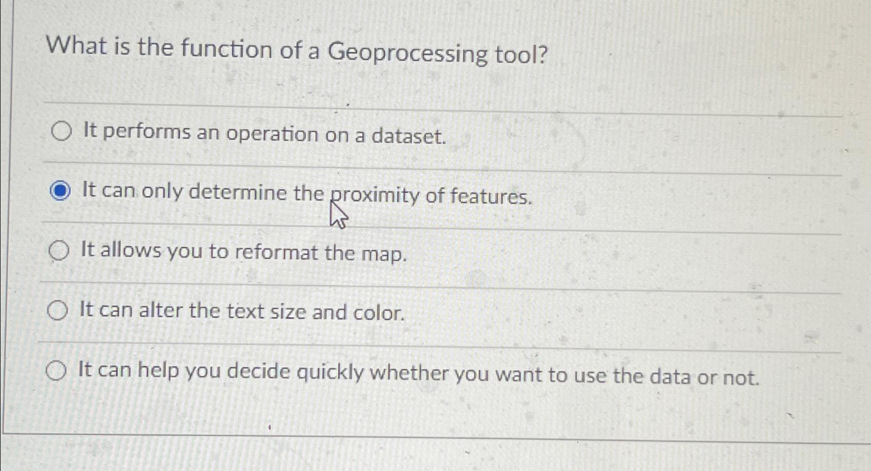
What is the function of a Geoprocessing tool?
It performs an operation on a dataset.
It can only determine the proximity of features.
It allows you to reformat the map.
It can alter the text size and color.
It can help you decide quickly whether you want to use the data or not.
Step by Step Solution
There are 3 Steps involved in it
Step: 1

Get Instant Access to Expert-Tailored Solutions
See step-by-step solutions with expert insights and AI powered tools for academic success
Step: 2

Step: 3
Ace Your Homework with AI
Get the answers you need in no time with our AI-driven, step-by-step assistance
Get Started