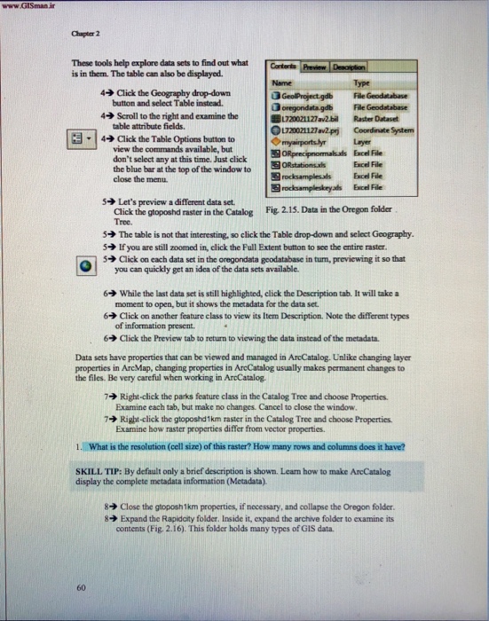
Chapter 2 These tools help explore data sets to find out what Corterts is in them. The table can also be displayed Name Type Click the Geography dropdown button and select Table instead. 4 3 oregondata gdb File Geodatabase 720121127a!bil Raster Dataset 4Scroll to the right and examine the table attribute fields 1720021127 av2prj Coordinate System -14 Click the Table Options button to |myanportsyr view the commands available, but don't select any at this time. Just click the blue bar at the top ofthe window to layer Excel File Excel ORprecipromahads ORstationsds File close the menu. rocksampleads Exce. File 5 Let's preview a different data set. Click the gtoposhd raster in the Catalog Fig. 2.15. Data in the Oregon folder Tree. The table is not that interesting, so click the Table drop-down and select Goography. 5 lfyou are still zoomed in, click the Full Extent button to see the entire raster. 5ack on each data set in the omgondata geodatabase in tum, previewing it so that you can quickly get an idea of the data sets available 6 While the last data set is still highlighted, click the Description tab. It will take a moment to open, but it shows the metadata for the data set 6 Click on another feature class to view its Item Description. Note the different types of information present. 6 Click the Preview tab to return to viewing the data instead of the metadata. Data sets have properties that can be viewed and managed in AreCatalog. Unlike changing layer properties in ArcMap, changing properties in ArcCatalog usually makes permanent changes to the files. Be very careful when working in ArcCatalog. Right-click the parks feature class in the Catalog Tree and choose Properties. Examine each tab, but make no changes. Cancel to close the window 7 7 Right-click the gtopostd 1km raster in the Catalog Tree and choose Properties. Examine how raster properties differ from vector properties. 1. What is the resolution (cell size) of this raster? How many rows and columns does it have? SKILL TIP: By default only a brief description is shown. Leam how to make AreCatalog display the complete metadata information (Metadata). 8 Close the gaposh1km properties, if necessary, and collapse the Oregon folder. 8 Expand the Rapidaty folder. Inside it, expand the archive folder to examine its contents (Fig. 2.16). This folder holds many types of GIS data. 60 Chapter 2 These tools help explore data sets to find out what Corterts is in them. The table can also be displayed Name Type Click the Geography dropdown button and select Table instead. 4 3 oregondata gdb File Geodatabase 720121127a!bil Raster Dataset 4Scroll to the right and examine the table attribute fields 1720021127 av2prj Coordinate System -14 Click the Table Options button to |myanportsyr view the commands available, but don't select any at this time. Just click the blue bar at the top ofthe window to layer Excel File Excel ORprecipromahads ORstationsds File close the menu. rocksampleads Exce. File 5 Let's preview a different data set. Click the gtoposhd raster in the Catalog Fig. 2.15. Data in the Oregon folder Tree. The table is not that interesting, so click the Table drop-down and select Goography. 5 lfyou are still zoomed in, click the Full Extent button to see the entire raster. 5ack on each data set in the omgondata geodatabase in tum, previewing it so that you can quickly get an idea of the data sets available 6 While the last data set is still highlighted, click the Description tab. It will take a moment to open, but it shows the metadata for the data set 6 Click on another feature class to view its Item Description. Note the different types of information present. 6 Click the Preview tab to return to viewing the data instead of the metadata. Data sets have properties that can be viewed and managed in AreCatalog. Unlike changing layer properties in ArcMap, changing properties in ArcCatalog usually makes permanent changes to the files. Be very careful when working in ArcCatalog. Right-click the parks feature class in the Catalog Tree and choose Properties. Examine each tab, but make no changes. Cancel to close the window 7 7 Right-click the gtopostd 1km raster in the Catalog Tree and choose Properties. Examine how raster properties differ from vector properties. 1. What is the resolution (cell size) of this raster? How many rows and columns does it have? SKILL TIP: By default only a brief description is shown. Leam how to make AreCatalog display the complete metadata information (Metadata). 8 Close the gaposh1km properties, if necessary, and collapse the Oregon folder. 8 Expand the Rapidaty folder. Inside it, expand the archive folder to examine its contents (Fig. 2.16). This folder holds many types of GIS data. 60


